Build with Precision
Custom Construction Layout Services- throughout the entirety of your project.
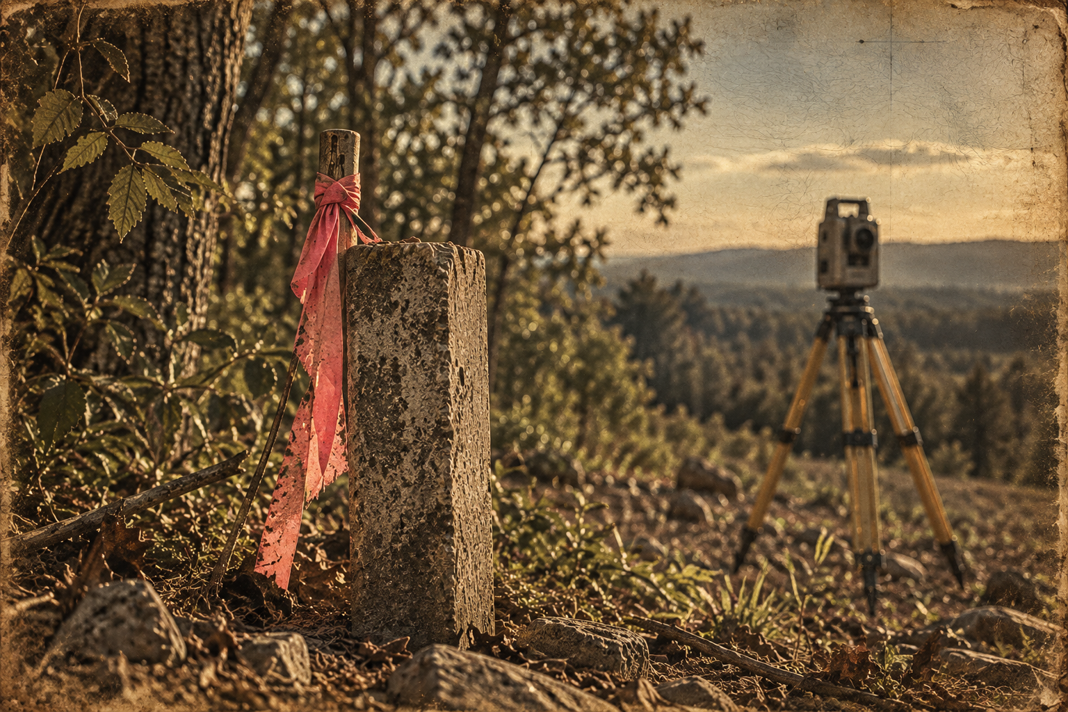
Initial Boundary Survey
Know your lines before you break ground.
Establishing property boundaries before planning or construction begins protects your project from costly surprises. A boundary survey defines the legal limits of the property, confirms corners, and provides the foundation for everything that follows — home placement, setback compliance, easement identification, and site planning.
Boundary surveying services are provided by Jarrod G. Antley, RPLS No. 6071, Lone Star Land Surveying and Mapping, Firm No. 10194680. Lone Star Land Surveying Services coordinates project and field logistics.
Initial Topo + Tree Survey
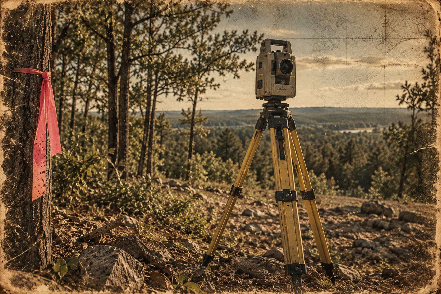
Understand the land before you design on it.
Before a home is designed or a driveway is planned, you need to know what the land is doing. We collect existing elevations, terrain data, drainage patterns, site features, and tree locations — giving your engineer, architect, and builder the field data they need for home placement, grading design, drainage planning, driveway layout, and tree preservation decisions.
Construction Layout & Staking
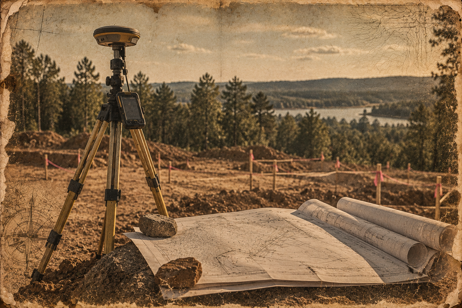
If it needs to be located on the ground, we can stake it.
Construction layout is the most critical field service on any custom home project. We work directly from your civil plans and project control to stake everything your crews need to build accurately — from the first corner to the last utility line. We stake house envelopes and perimeters, house and shop corners for form boards, building offsets, driveways and entrances, culverts, water wells, utilities and site improvements, fence lines, and any other requested points or lines.
Form Survey
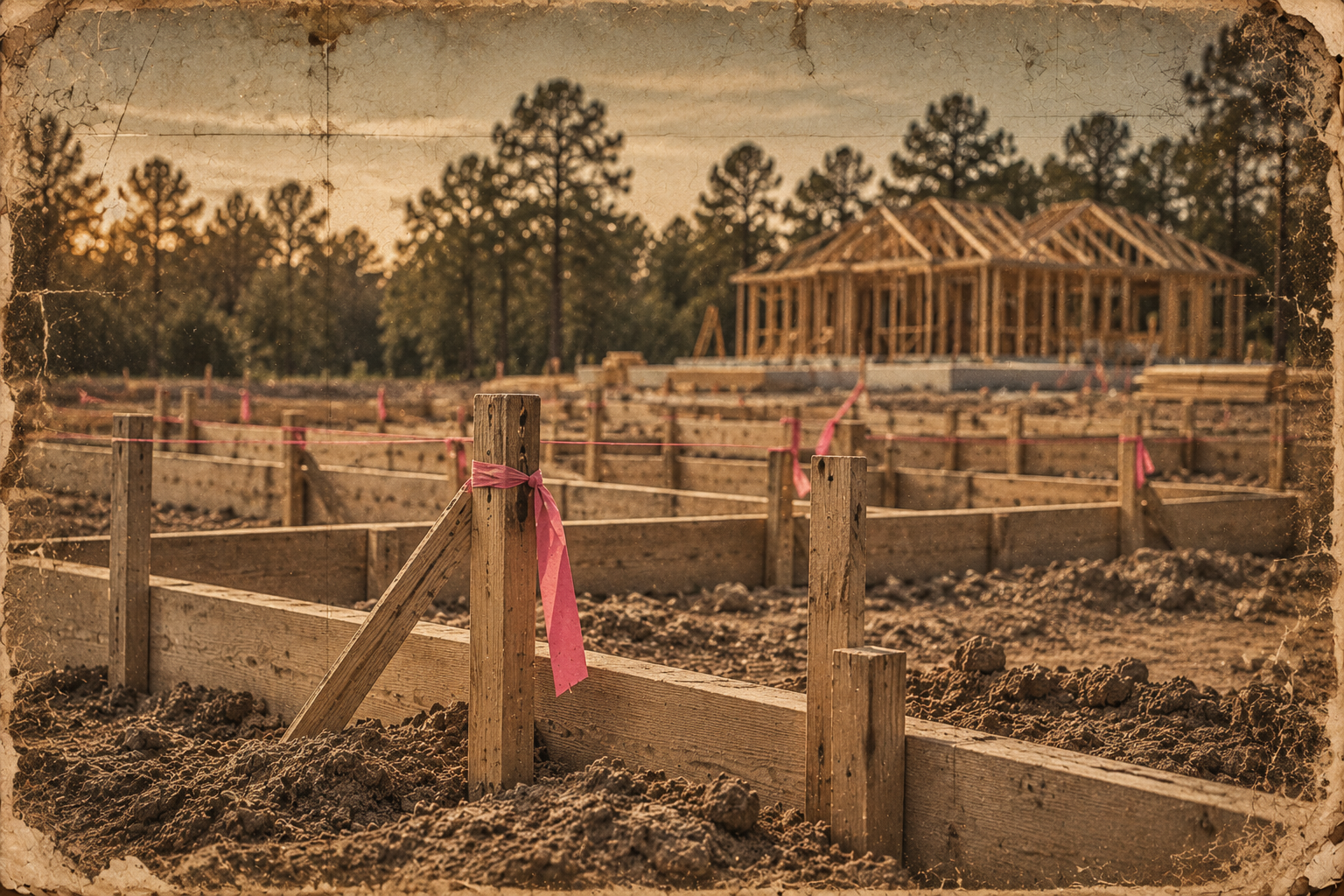
Verify the forms before the pour.
At the form stage, we perform the field work and documentation required before the foundation is poured — verifying form placement, offsets, and elevations to confirm everything is set correctly before the pour.
Final Survey
Document the finished home and site improvements.
The final survey documents the completed structure and site improvements at project closeout — providing the as-built record required for lender, title, and close-out requirements.
Final Drainage Topo
Close out with confidence.
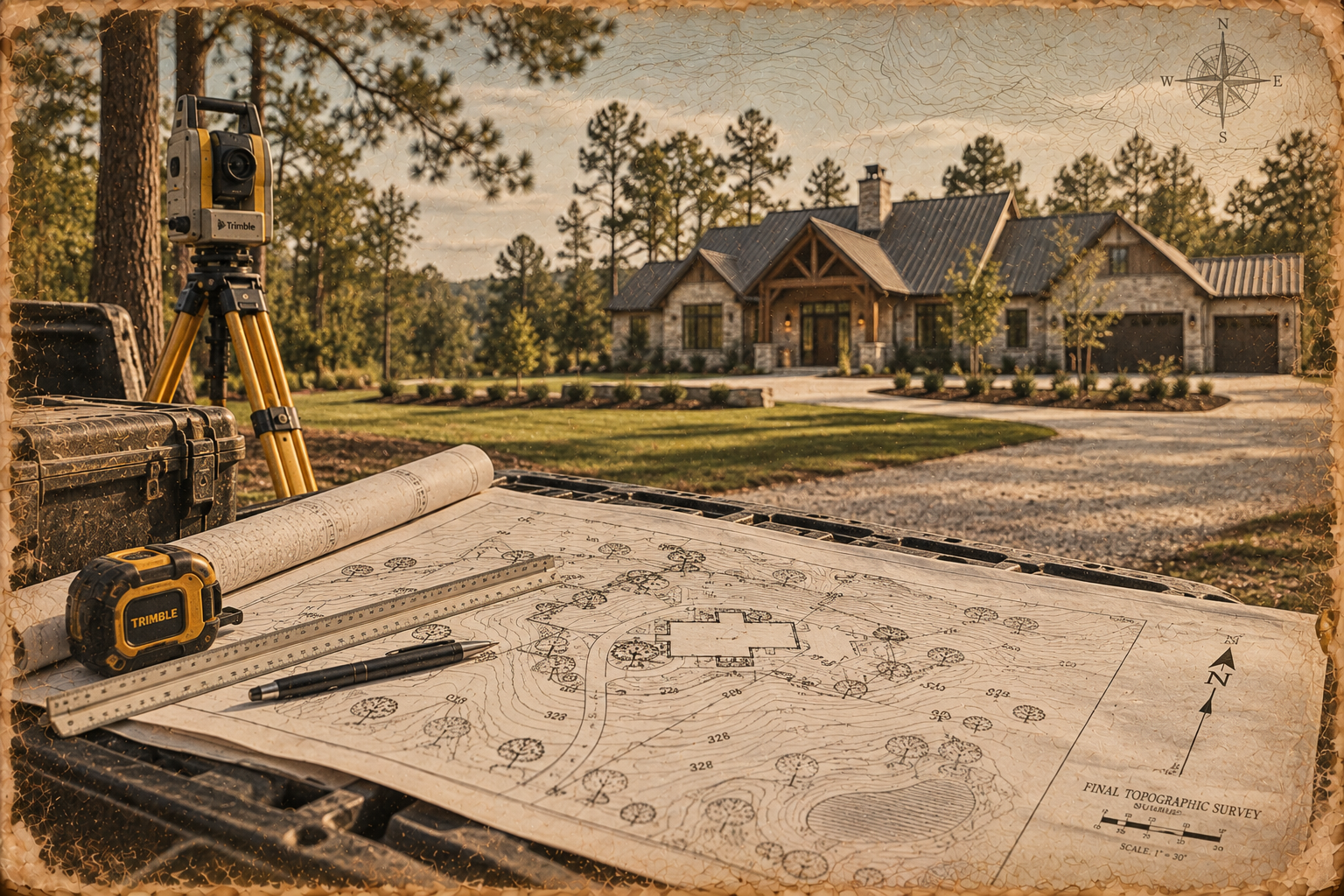
After grading and site work are complete, we collect finished-ground elevations and topographic data documenting final drainage conditions across the site. This deliverable gives your builder and engineer a clear record of how water moves across the finished property — useful for builder review, warranty documentation, and project closeout.
Send Us Your Plans.
Send your project plans and information and we'll coordinate the appropriate field services and timing for each stage of your build.