Field & Tech
Services
Boundary surveys, topographic surveys, 3D scanning, and CAD drafting — field and technical services for any project.
Boundary Survey
Know your lines before work begins.
Boundary surveying services are provided by Jarrod G. Antley, RPLS No. 6071, Lone Star Land Surveying and Mapping, Firm No. 10194680. Lone Star Land Surveying Services coordinates project and field logistics.

Topographic + Tree Surveys
Understand the land you're working with.
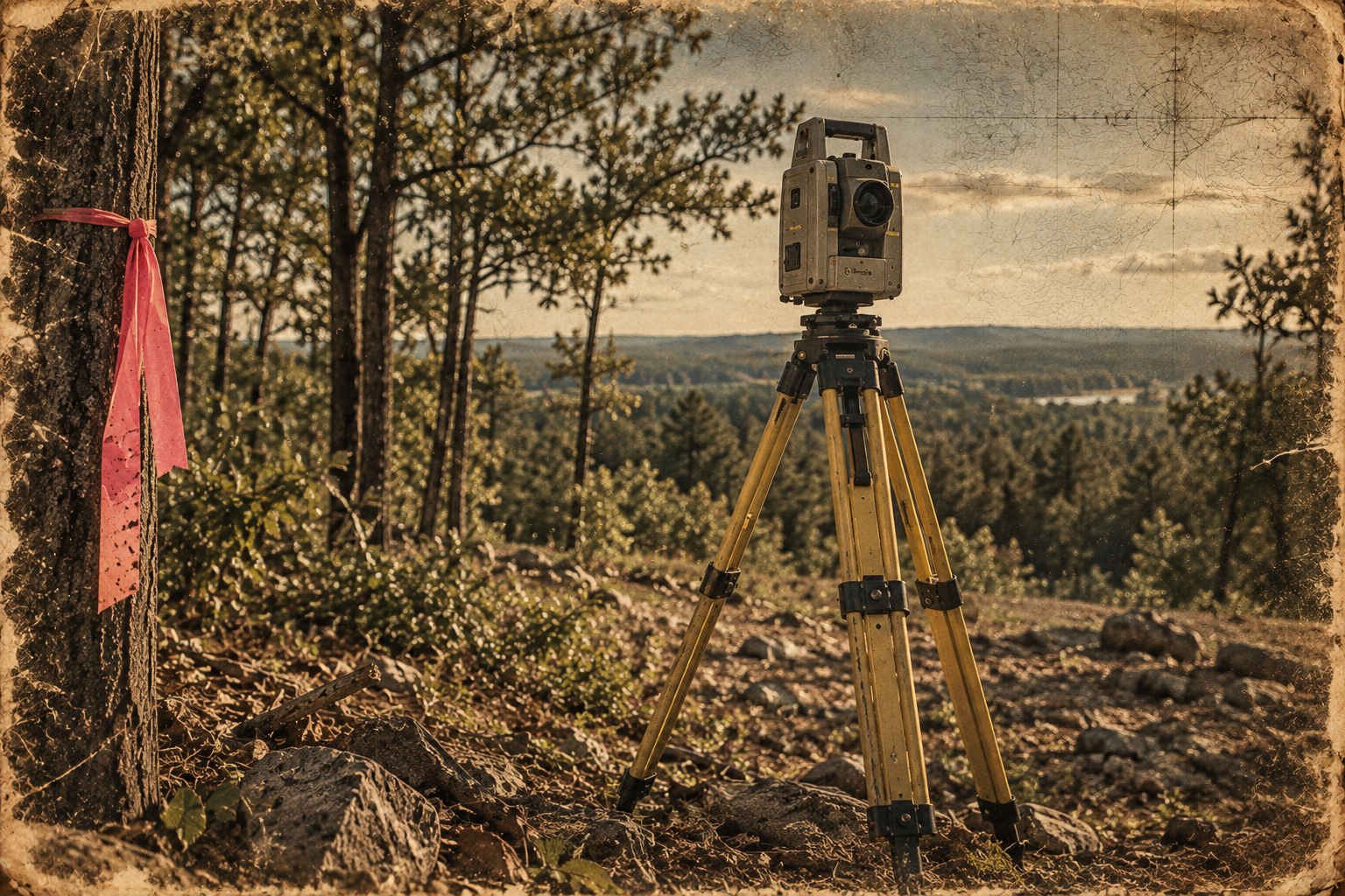
We collect existing elevations, terrain data, drainage features, site features, existing improvements, and tree locations — giving engineers, architects, and builders the field data they need for home placement, grading design, and drainage planning.
3D Scanning
Capture existing conditions in detail.
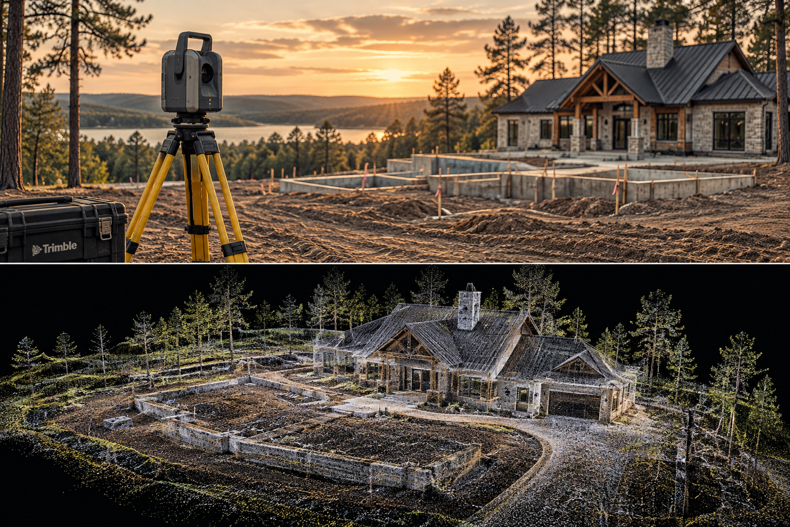
High-density field data collection using 3D scanning equipment — producing point-cloud data for structures, sites, existing conditions, and as-built documentation.
CAD Drafting + Digital Deliverables
Field data turned into usable project information.
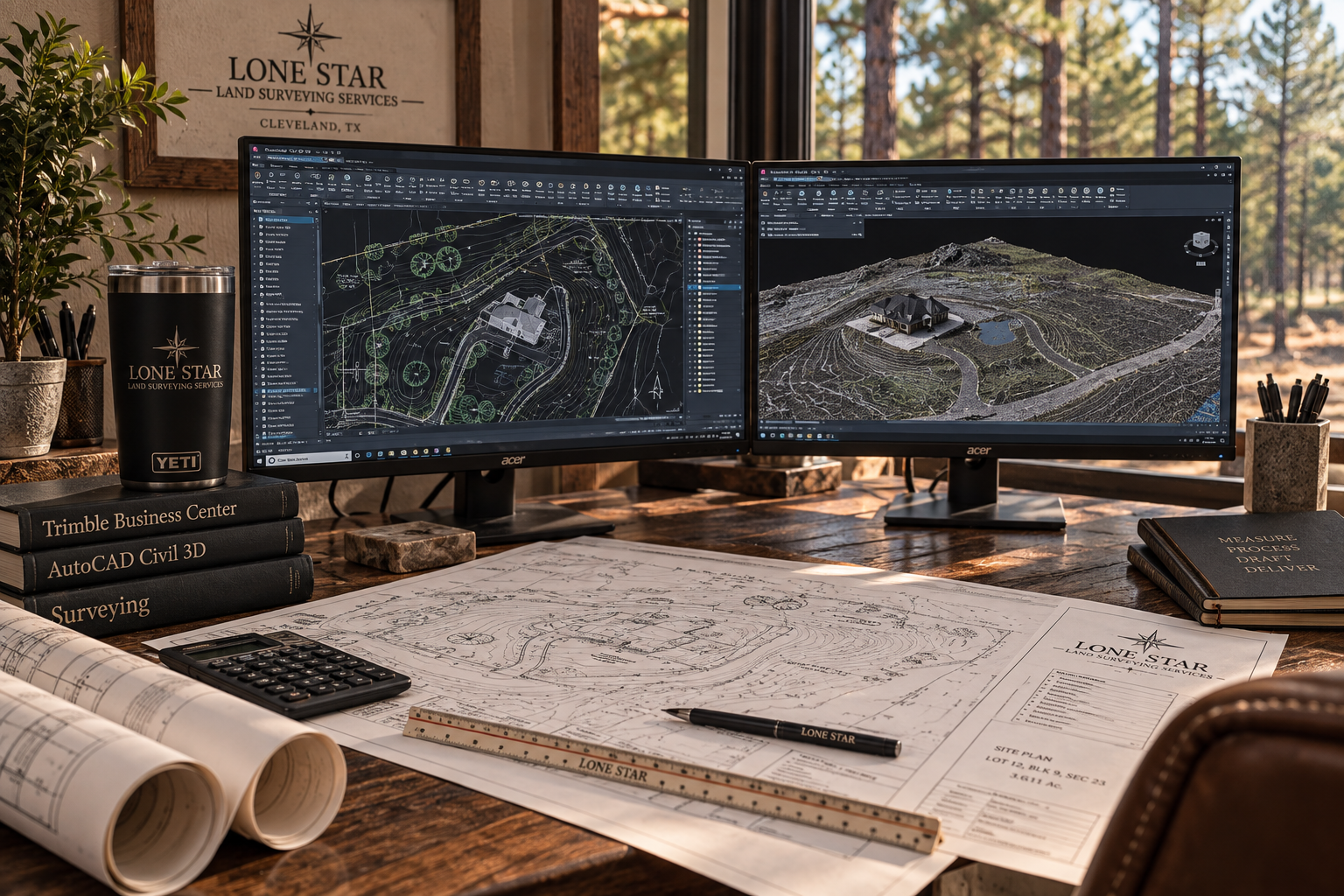
Field data processed through Trimble Business Center and Autodesk Civil 3D — delivered as finished drawings, exhibits, and digital project files ready for your engineer or construction team.
Need something specific?
Send us your project information and we can help determine the field data or deliverables you need.